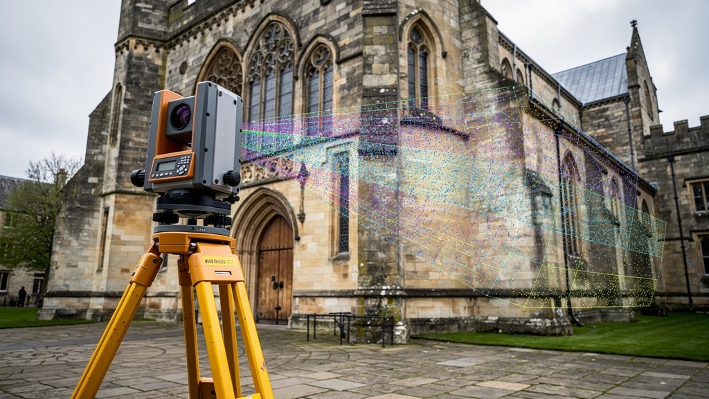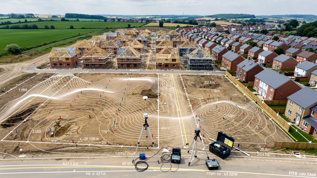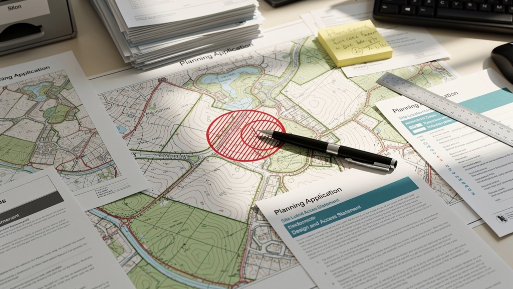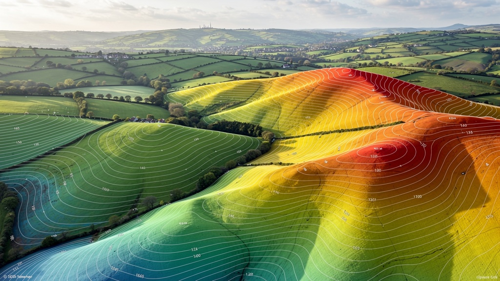
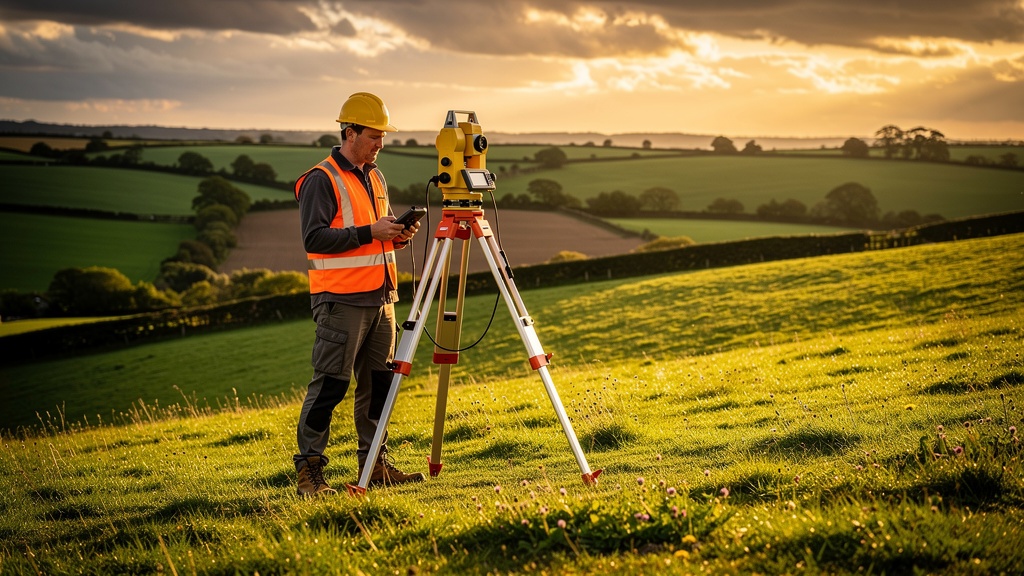
Topographical Survey
Our core topographic land survey captures all natural and man-made features above and below ground. We measure levels, contours, trees and boundaries — everything your architect or planner needs to produce a solid specification.
Learn more