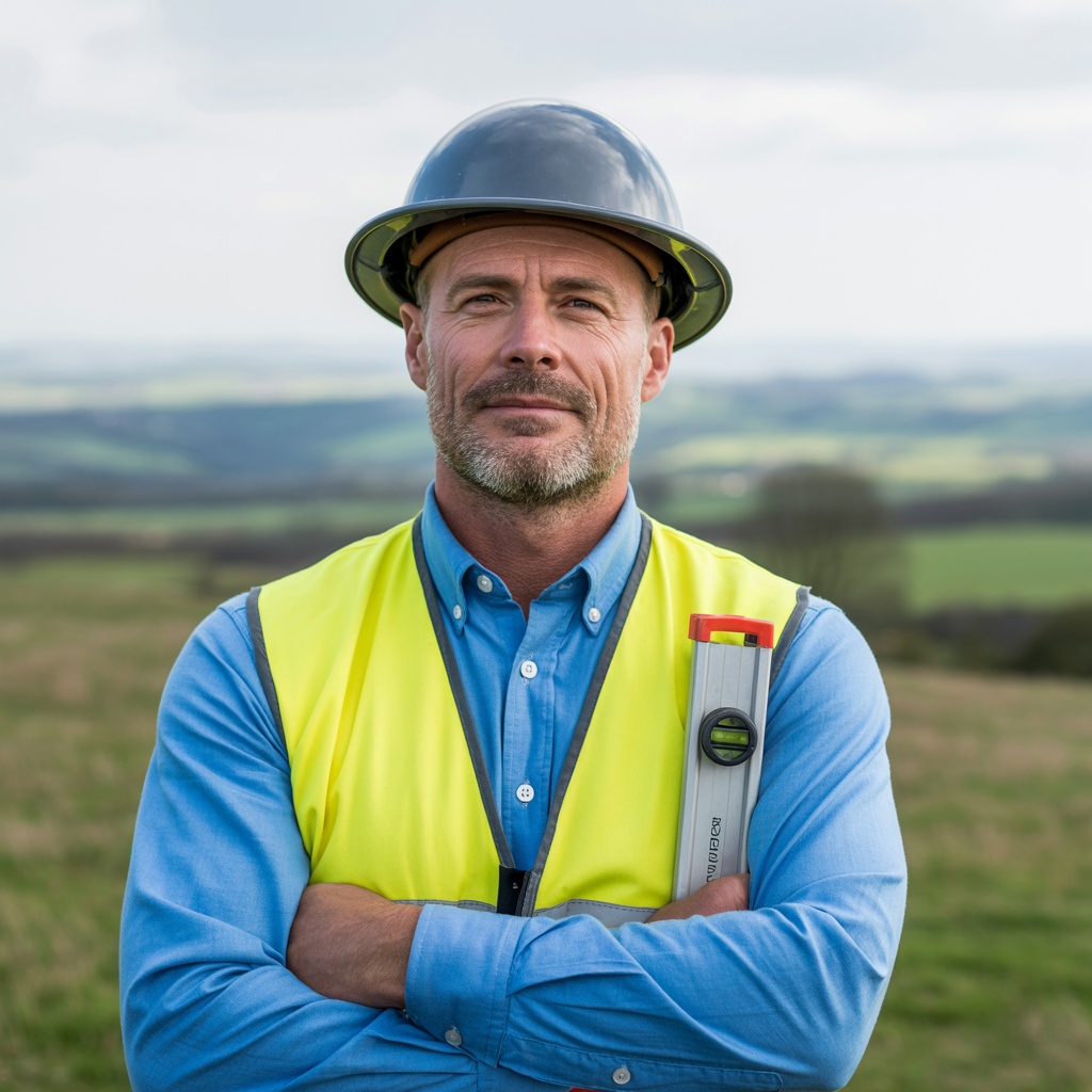
About Surveyor Topographer

We are a specialist UK survey company — passionate about accurate data, professional standards and helping your project succeed from the ground up.

A Surveyor Topographer Practice Built on Precision

Surveyor Topographer was founded with one goal: to make professional, reliable topographical land survey services accessible to everyone — from a homeowner extending a kitchen to a developer building a whole new neighbourhood.

Our founders grew frustrated watching construction projects run into costly delays and legal disputes — problems that, in almost every case, could have been avoided with an accurate topographic survey at the outset. So they set out to create a survey company that took the complexity out of the process and gave clients the detailed information they needed to make confident decisions.

Today, we undertake topographic surveys for clients across the UK, from individual property owners to national house builders, local authorities and heritage organisations. Every project is different — but our commitment to accuracy, transparency and fast delivery never changes.

Aerial view of a UK construction project with survey markers and GPS equipment showing land development survey in progress

Our Core Values as Topographical Surveyors

Accuracy Above All

Every topographical survey we undertake is carried out to the highest measurement standards. We invest in the latest survey equipment — including RTK GPS and 3D laser scanners — so that accuracy is never compromised.

Client First

We believe great survey services start with listening. Before we carry out the survey, we invest time understanding your project, your timeline and the purpose of the survey — so you receive the right data in the right format.

Professional Standards

Our accreditation with CIOB, RICS and RPSA is not just a badge. It means our surveyors follow rigorous professional standards and ongoing CPD — so you benefit from the most up-to-date land surveying services available.

Meet Our Topographical Surveyors

Behind every accurate topo survey is a team of dedicated professionals. Here are the people who make it happen.

James Whitfield, Principal Surveyor at Surveyor Topographer, standing outdoors in high-visibility vest with survey equipment

James Whitfield

Principal Surveyor & Co-Founder

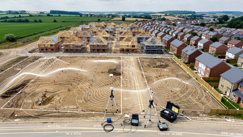
James has been carrying out topographic surveys across the UK for over 18 years. He specialises in large-scale land development projects and has an exceptional eye for the kind of natural and man-made features that matter most to planners and engineers. Outside of work, James is an enthusiastic fell runner — which means he's very comfortable on challenging terrain.

Sarah Patel, Senior Topographical Surveyor at Surveyor Topographer, smiling in outdoor setting with British countryside background

Sarah Patel

Senior Topographical Surveyor

Sarah leads our 3D laser scanning division and is one of the most experienced point-cloud specialists in the UK. She joined the team after a decade working with major heritage organisations, where sub-millimetre accuracy wasn't a luxury — it was essential. Sarah is also a keen amateur photographer, which probably explains why her survey drawings are always so beautifully composed.

David Marsh, Senior Land Surveyor at Surveyor Topographer, in office with maps and blueprints in background

David Marsh

Senior Land Surveyor & Co-Founder

David brings 22 years of expert land surveying experience to every project. He has a particular specialism in flood risk assessment surveys and has worked extensively with local authorities across England and Wales. David's calm, methodical approach means even the most complex measured survey is handled without drama. He is also the firm's in-house expert on OS grid and datum reference frameworks.

Accreditation You Can Trust

Our surveyors are accredited members of the UK's leading surveying and construction professional bodies. This means independent oversight, ongoing training and the highest ethical standards — every time.

CIOB

The Construction Industry's leading professional institute. Our CIOB-accredited surveyors uphold the highest standards in construction and land surveying practice, backed by rigorous CPD and ethical guidelines.

RICS

The Royal Institution of Surveyors — the world's leading professional body for land, property and construction. RICS accreditation is widely recognised by local authorities, developers and legal professionals.

RPSA

The Residential Property Surveyors Association. Our RPSA membership demonstrates a specific commitment to excellence in residential surveying — important for property buyers and sellers seeking a reliable topographical and land survey service.

What Our Clients Say About Our Survey Team

★★★★★

"James explained every stage of the survey clearly — what the level of detail would include, why certain features mattered and exactly what the CAD drawings would look like. A genuinely expert team."

Andrew G.
Architect, Manchester
★★★★★

"Sarah's 3D laser scanning work on our Victorian school conversion was outstanding. The level of detail in the point cloud data meant our structural engineers could work with confidence. Absolutely top-notch service."

Natalie B.
Project Manager, Birmingham
★★★★★

"David's expertise on flood risk data was exactly what we needed. He knew exactly what the local authority would require and ensured the topographical survey covered everything. Saved us from a very costly planning refusal."

Simon K.
Property Developer, Bristol

Ready to Work With Our Survey Team?

Whether you need a simple residential topo survey or a complex topographical land survey for a major development project, our team is here to help. Get in touch for a free consultation and quote.

  • Free initial consultation & quote
  • CAD drawings in your preferred format
  • CIOB, RICS and RPSA accredited surveyors
  • UK-wide survey coverage

Get in Touch